#1
#1 out of 6215.38%
weather1d ago
The strongest El Niño on record is brewing. Here's what could happen
Euronews.com and 4 more
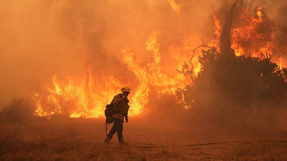
- Record heat and wildfires loom globally as El Niño strengthens, potentially pushing temperatures higher this year.
- Experts warn a very strong El Niño this year could lift global temperatures and raise heat risk worldwide.
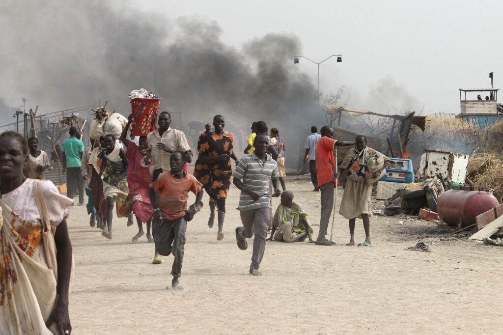
- Heat waves and burn areas are already rising as El Niño interacts with warming climates across West Africa, the Sahel, and beyond.
Vote 8