#1
#1 out of 1
science1d ago
Where are we? Getting longitude right has been a historic undertaking
- The struggle to determine longitude drove advances from celestial methods to precise timekeeping.
- Timekeeping on ships finally helped compute a location’s distance from Greenwich.
- Geographers credit explorers like Fremont and Thompson for creating detailed longitude records.
- Modern surveying relies on satellite systems, replacing older methods.
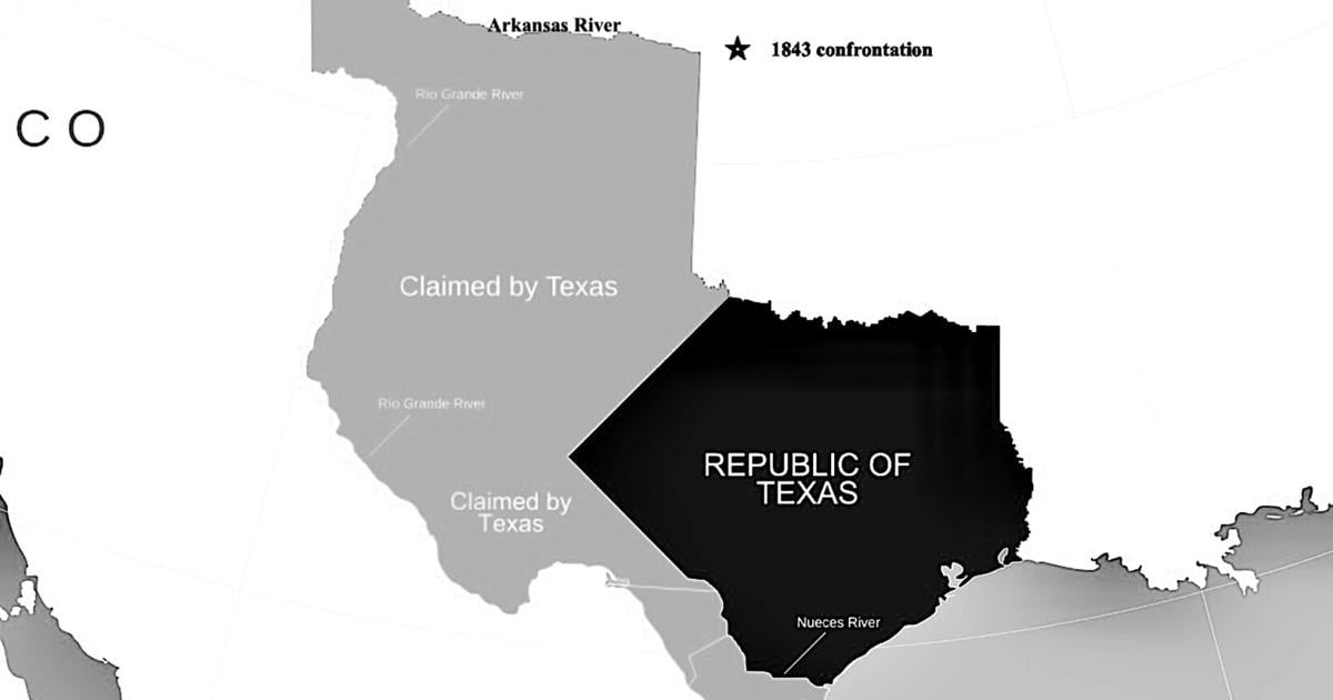
- Longitude accuracy influenced international boundaries and historic conflicts.
- The first accurate longitudes came with improved western exploration maps in the 1840s.
- David Thompson’s charts mapped vast terrain and guided future governance.
- Environmental shifts mean longitude markers still need adjustment over time.
- Jefferson's wartime map advice underscored early cartographic limits.
Vote 0